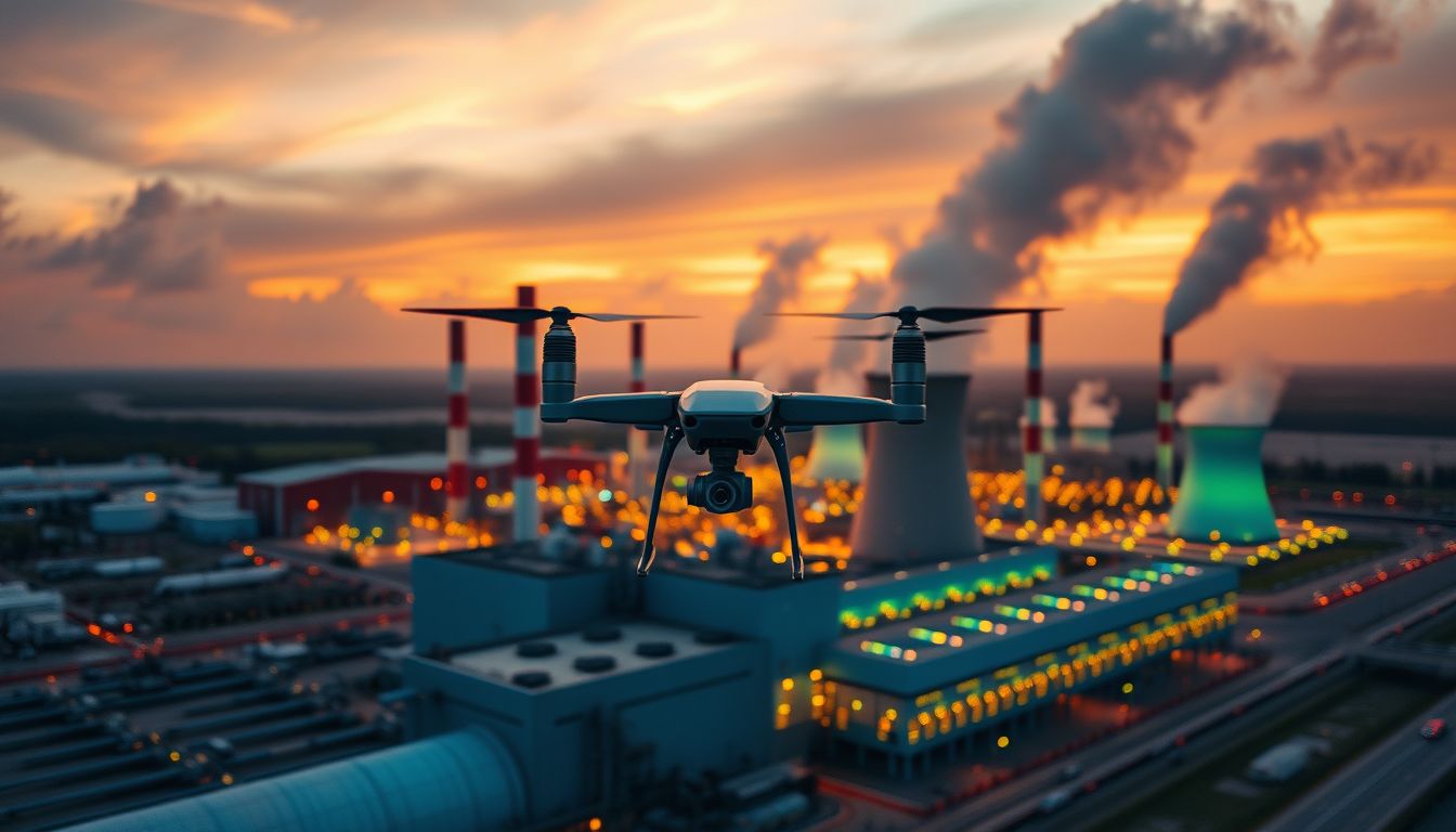
Above
Every Mission
Precision. Affordable. Fast.
Thermal inspections • 3D photogrammetry • Cinematic storytelling.
Mission-Ready Services
Precision aerial intelligence across every operational domain — commercial, industrial, and government.
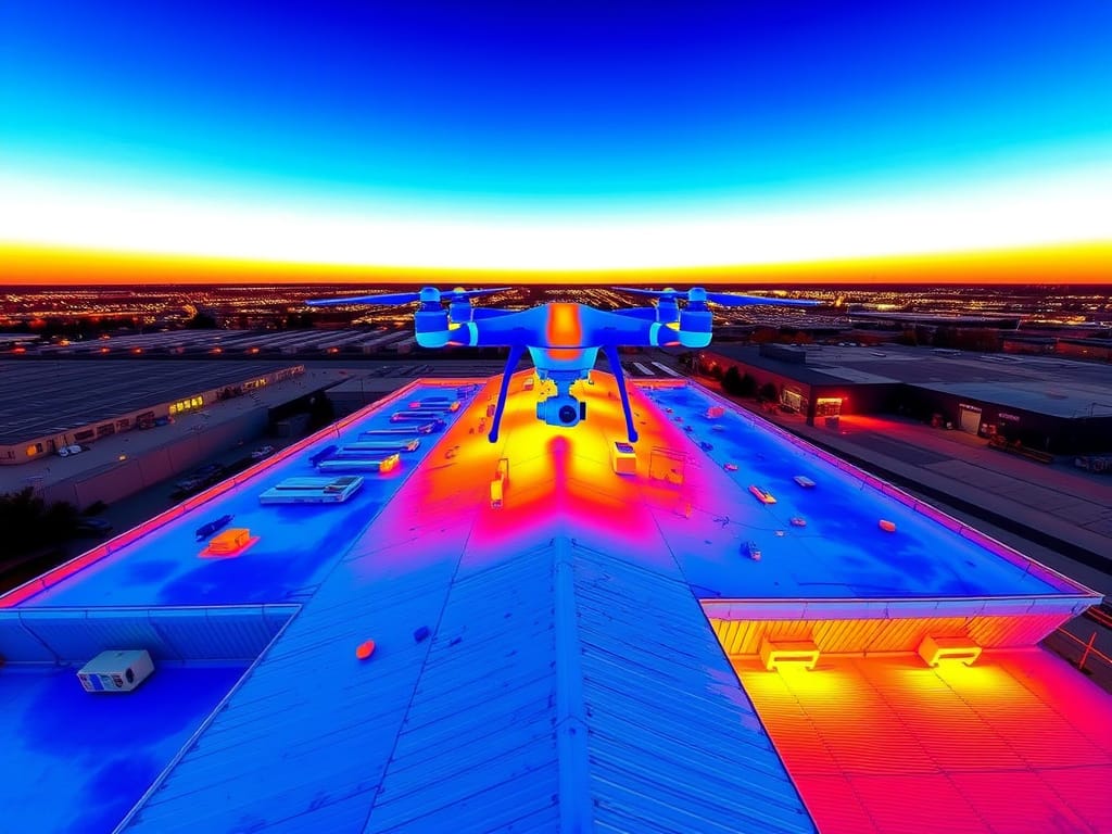
Thermal Imaging Inspections
Detect heat anomalies, electrical faults, moisture intrusion, and energy loss across rooftops, solar arrays, power lines, and industrial equipment — all with FLIR-grade thermal sensors.
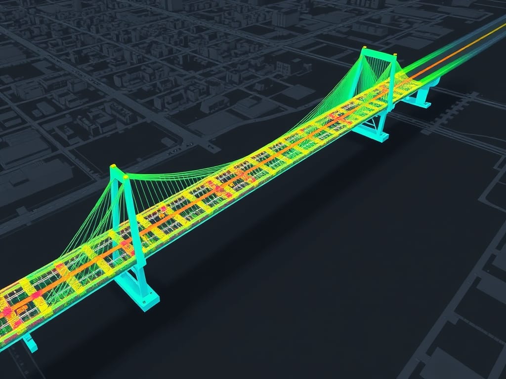
Photogrammetry 3D Scanning & Mapping
Centimeter-accurate 3D point cloud models for infrastructure, terrain, construction sites, and urban planning. Delivered as GeoTIFF, LAS, or CAD-ready files.

HD Cinematography & Photography
Broadcast-quality 6K aerial video and 60MP photography. Ideal for real estate, corporate marketing, film production, events, and government communications.
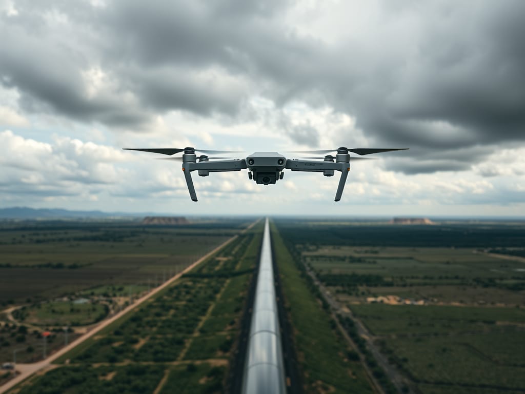
Infrastructure & Pipeline Inspections
Long-range corridor inspections for pipelines, power transmission lines, bridges, and railways. Rapid deployment for emergency asset assessments.
Industries & Sectors
From small Industrial assessments to large-scale government contracts — every mission receives the same elite level of precision.
Have drone, will travel.
Whether it's a roof inspection or a 200-mile pipeline survey, every client receives the same elite-level precision, professionalism, and attention to detail.
Enterprise-Grade Aircraft
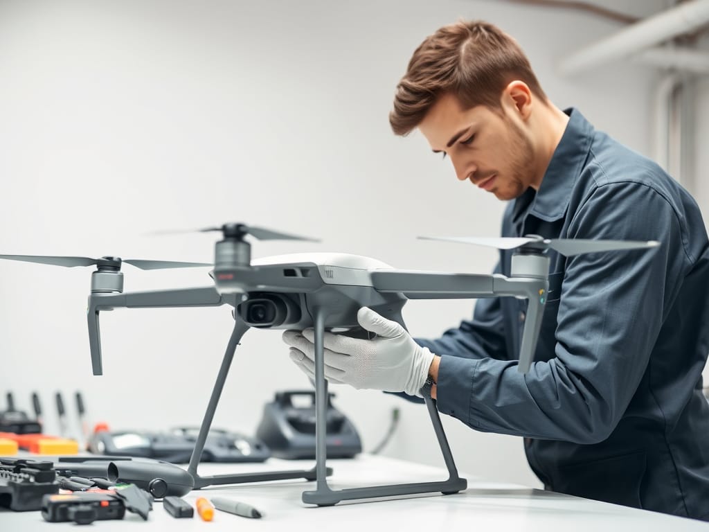
Drone Repair & Maintenance
Full-service Maintenance, Repair & Overhaul (MRO) for all commercial drone platforms. Certified trained technicians, OEM parts, and rapid turnaround.
Certified. Insured. Trusted.
Our credentials speak to our commitment to safety, compliance, and operational excellence.
About Us
Critical infrastructure still gets inspected the hard way. After a storm, or on a routine maintenance cycle, crews wait on scaffolding, bucket trucks, or a helicopter while decisions sit still and costs rise. A helicopter day often runs $5,000 to $15,000, and manual access puts people at height for work a drone can do from a safe standoff.
Chzld Pxl exists to take that friction off our clients. We are an Orlando drone services company, and the job is not the flight. The job is a clear answer, on time, in a form the people on the ground can use.
Every project starts with what you need to decide. We confirm the site, the deliverable, and the conditions before we fly, then stay available until the data is in your hands and the questions are answered. Certificates of insurance, additional-insured wording, and a scope that matches the contract are part of the work, not an afterthought.
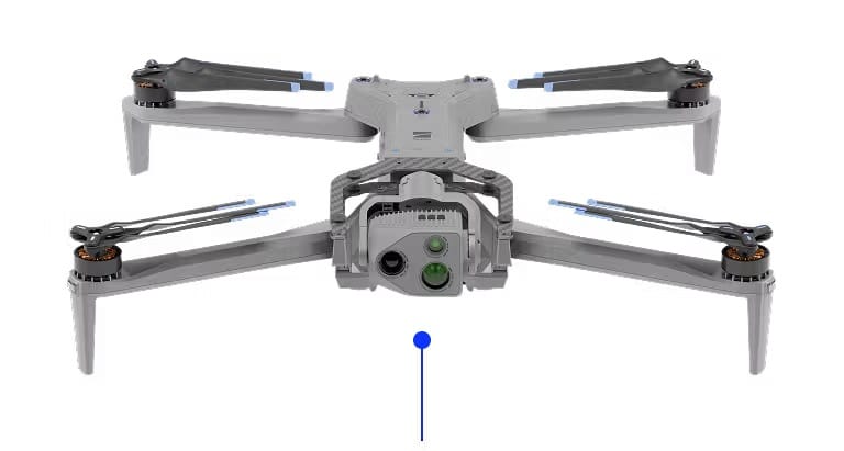
Operations are flown under an FAA Part 107 Remote Pilot Certificate. Thermal and infrared inspections are backed by an Infrared Training Center (ITC) Level I sUAS Infrared Thermography certification, so heat data is captured and documented to a thermography standard, not delivered as a color video. Mapping work is delivered as 3D photogrammetry and orthomosaics, so a site can be measured and reviewed, not just photographed. The fleet is led by the Skydio X10, with high-precision PPK/RTK positioning and radiometric thermal imaging. Missions use electric, NDAA-compliant platforms chosen for inspection and mapping rather than spectacle.
What we deliver:
- Thermal and infrared inspections for utilities, solar, roofs, and buildings
- 3D photogrammetry and orthomosaics for survey-grade site models and measurable maps
- Corridor and infrastructure surveys
- HD video for documentation
- Drone maintenance, repair, and overhaul
Clients are utilities, construction firms, infrastructure owners, and state, local, and federal agencies that need reliable aerial inspection and mapping. Chzld Pxl is a service-disabled veteran-owned small business, built for government work where precision, insurance, and follow-through matter.
Mark D’Andrea, Owner, holds an FAA Part 107 certificate and an ITC Level I sUAS Infrared Thermography certification and Multirotor Flight Training Professional Certifications from Embry Riddle Aeronautical University. He built his first custom sUAS for aerial photography in 2014 and has been flying for more than a decade. The company is based in Orlando, Florida.
We would rather be the team you call back than the team with the loudest claim. Tell us the asset, the decision, and the deadline. We will tell you whether a drone is the right tool, then fly it that way.
Launch Your Mission
Ready to elevate your project? Our team is available 24/7 for emergency deployments and will respond to all quotes within the same business day.